

A new interactive Google Earth map showing the impacts of climate change has been launched by the government.
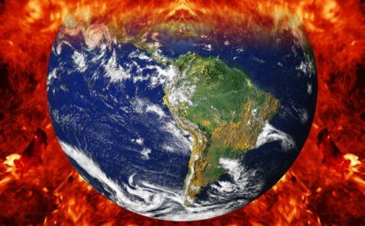
The multi-platform, interactive map highlights some of the changes that may occur if the global average temperature rises by 4°C above the pre-industrial climate average.
The site features videos of climate scientists from the UK explaining the latest research behind the climate impacts shown.
Launched by Foreign Office Minister Henry Bellingham, Climate Change Minister Greg Barker and Chief Government Scientist Professor John Beddington, the map was developed using peer-reviewed science from the Met Office Hadley Centre and other leading impact scientists.
Google’s geospatial technologist Ed Parsons said: “This is a great example of the benefits of using the latest web technology to visualise scientific information and promote better understanding of the potential human impacts of climate change.Allowing scientists to talk about their research to the general public is a way to enable the public to fully understand how the process of scientific investigation works.”
Vicky Pope from the Met Office said: “If greenhouse gas emissions continue to rise, global average temperatures could increase by 4°C by the end of the century, and possibly as early as 2060.This new mapping onto Google Earth illustrates some of the potential impacts of such a rise. It uses the latest climate and impacts science to highlight the consequences of not reducing emissions.”